|
|
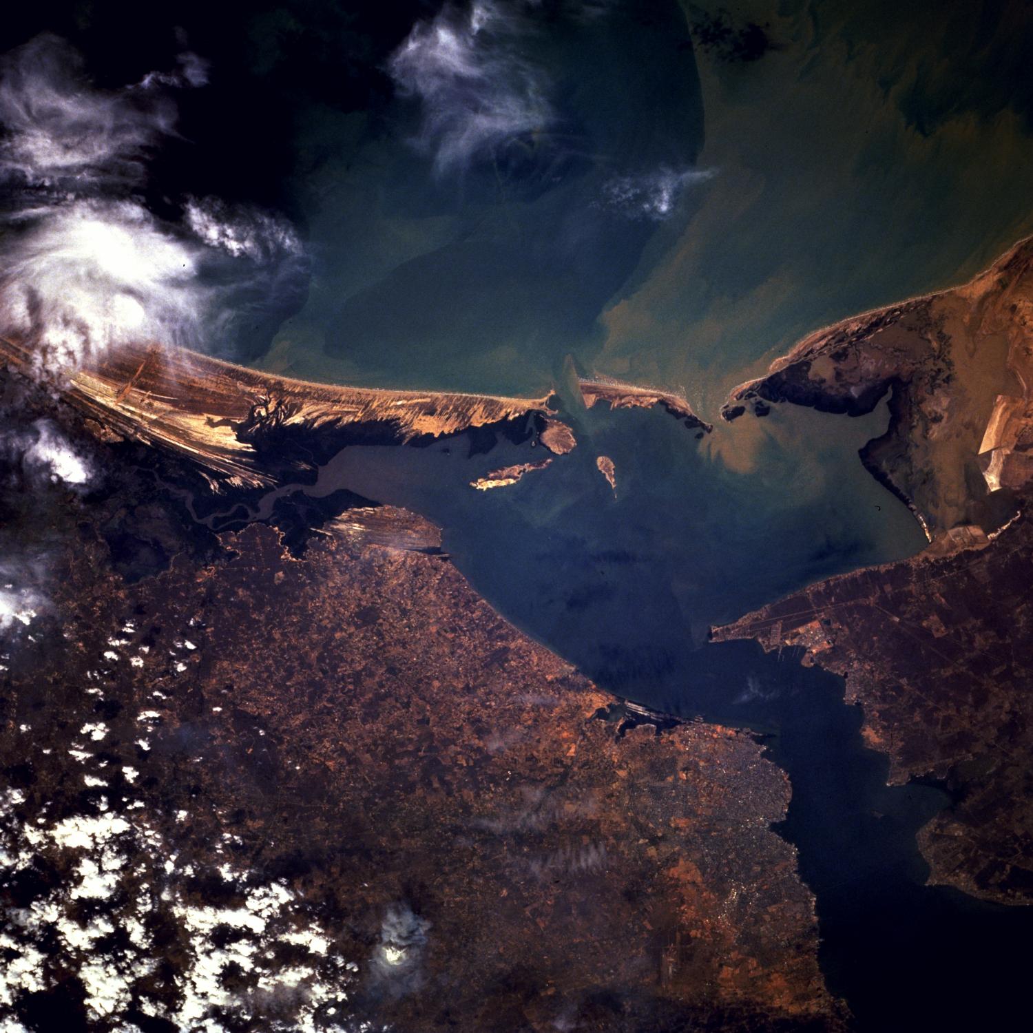
Satellite Image, Photo of Maracaibo City, Bay of Tablazo, Venezuela, February 1996 |
|

Maracaibo, Venezuela February 1996. This south-southwest-looking, low-oblique photograph shows the Bay of Tablazo and the city of Maracaibo at the entrance into Lake Maracaibo. Maracaibo, the oil capital of South America, is the second largest city in Venezuela. The city is situated on the western side of the channel connecting Lake Maracaibo and the Gulf of Venezuela, which goes into the Caribbean Sea, and serves the rich oil-producing area of northwestern Venezuela. Besides oil, the city exports shrimp, coffee, cacao, sugar, and hardwood. With an average temperature of 82 degrees Fahrenheit (28 degrees Celsius) and high humidity, Maracaibo has one of the least attractive climates in the world; however, air conditioning mitigates the discomfort. The city is thoroughly modern with wide streets and impressive buildings.
|
Maracaibo City Maps
Maracaibo, Gulf of Venezuela, Bay of Tablazo Satellite Photos
|