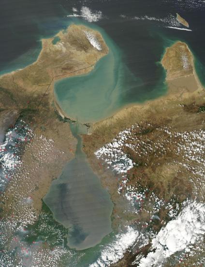
Bay of Tablazo Satellite Photos
- Gulf of Venezuela (Gulfo de Maracaibo)
- Maracaibo City, Bay of Tablazo
- Maracaibo City & Lake Area
- Tablazo Bay, Gulf of Venezuela
- Gulf of Venezuela Region
- Lake Maracaibo
See full-size image (351KB).
From: NASA
Gulf of Venezuela, an inlet of the Caribbean Sea. Sometimes referred to as the Gulf of Maracaibo, image shows a few scattered fires (red dots).
