|
|
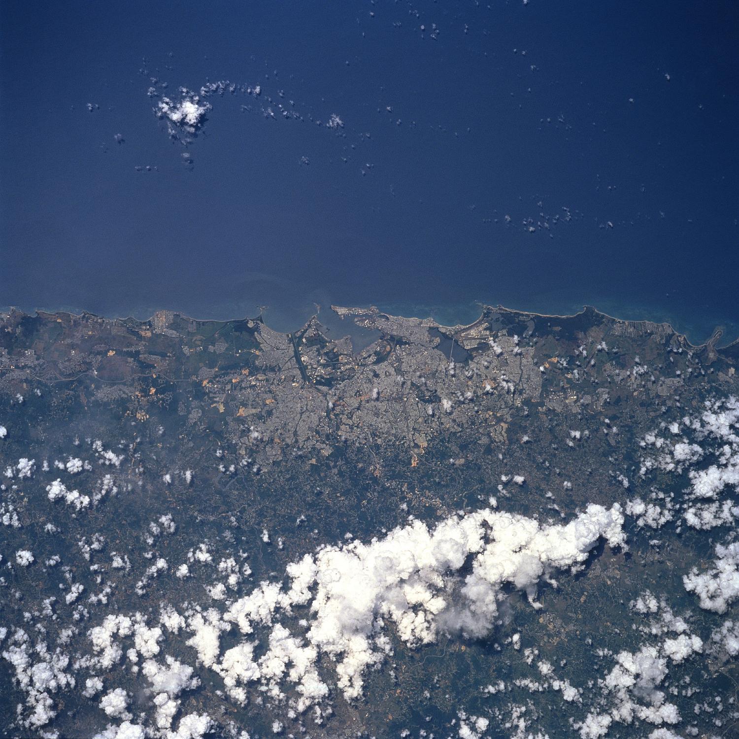
Satellite Image, Photo of San Juan, Puerto Rico, July 1997 |
|

From: NASA
|
San Juan, Puerto Rico July 1997. The capital and largest city in Puerto Rico, San Juan, can be seen in this north-northeast-looking view. The city is located on the northern coast of the island on the Atlantic Ocean. San Juan, the chief commercial, industrial, shipping, and governmental center of Puerto Rico, is a very popular year around vacation resort. Manufactured products include rum and other beverages, pharmaceuticals, sugar, electronic equipment, chemicals, clothing, cement, publishing, and jewelry. San Juan’s old colonial section is situated on two rocky inlets near the mouth of its harbor, and is linked by bridges with the mainland. The harbor facilities at San Juan are some of the best in the West Indies. |