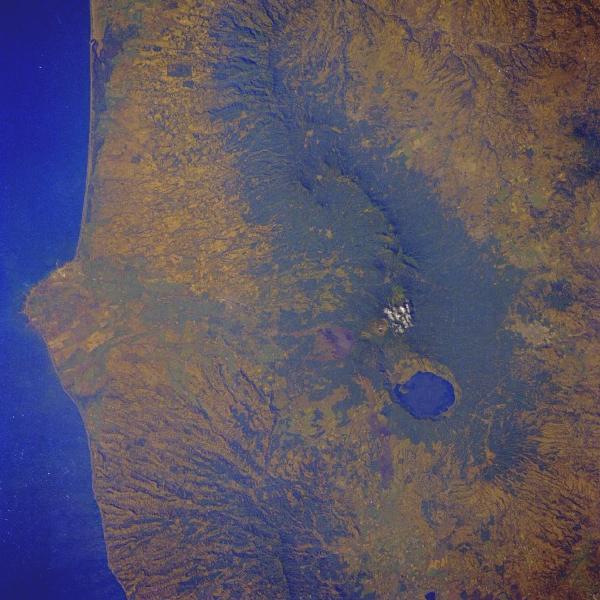
Mountain peak in southwestern El Salvador, the highest in the country, it rises to 7,749 feet (2,362 m). The volcano last erupted in 1920 and has a small sulfurous lake in its crater. Geographic coordinates: 13.85 N, 89.63 W.
|
|

Mountain peak in southwestern El Salvador, the highest in the country, it rises to 7,749 feet (2,362 m). The volcano last erupted in 1920 and has a small sulfurous lake in its crater. Geographic coordinates: 13.85 N, 89.63 W.
|