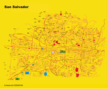
Image scaled down
See full-size image.
See full-size image.
Capital of El Salvador, funded in 1525 by Gonzalo de Alvarado, on the Río Ace Chaute in the Valle de las Hamacas (Valley of the Hammocks) at an altitude of 2,238 ft (682 m). The first inhabitants were Pokomanes, Lencas y Chortis; and then the Pipiles y Ulúas. All of them ethnics groups forming the roots with the Spanish of whath are now the 1.5 millions population of he city.
