Image scaled down
See full-size image.
See full-size image.
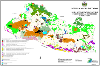
During a period of fifteen months from may/1999 to august/2000 the Mapeo Project was developed in El Salvador, part of the regional project of the same name; whose primary target was to create a data base with the physical characteristics and taxa vegetal of each verified site.
