See full-size image (77KB).
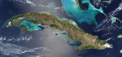
Dozens of fires were burning on Cuba on April 3, 2004, and were detected by the Moderate Resolution Imaging Spectroradiometer (MODIS) on the Aqua satellite. The fire locations are marked in red. The widespread nature of the fires and the season suggests that these fires are being set intentionally for agricultural purposes. Though not necessarily hazardous, such large-scale burning can have a strong impact on weather, climate, human health, and natural resources.
