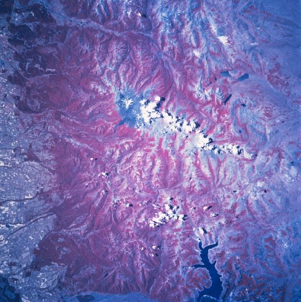
Nevados De Chillan, Chile January 1997. Deep red represents healthy green vegetation on color infrared images. In this instance the reddish landscape represents the forested land in the Andes Mountains west of Concepción. Cultivated fields are visible on the western slopes (windward side) of the Andes in Chile; while semi-arid conditions exist on the leeward side (“rain-shadow effect”), preventing much agricultural development on the Argentine side. The darker area near the center of the image (with a string of clouds extending southeastward) is a lava field produced by the Nevados de Chillán volcano. Three small lakes, located in Argentina, are visible east of the lava field. The very dark sinuous feature at the bottom of the picture is Laguna de la Laja, a large reservoir on the Rio Laja.
|
|