|
|
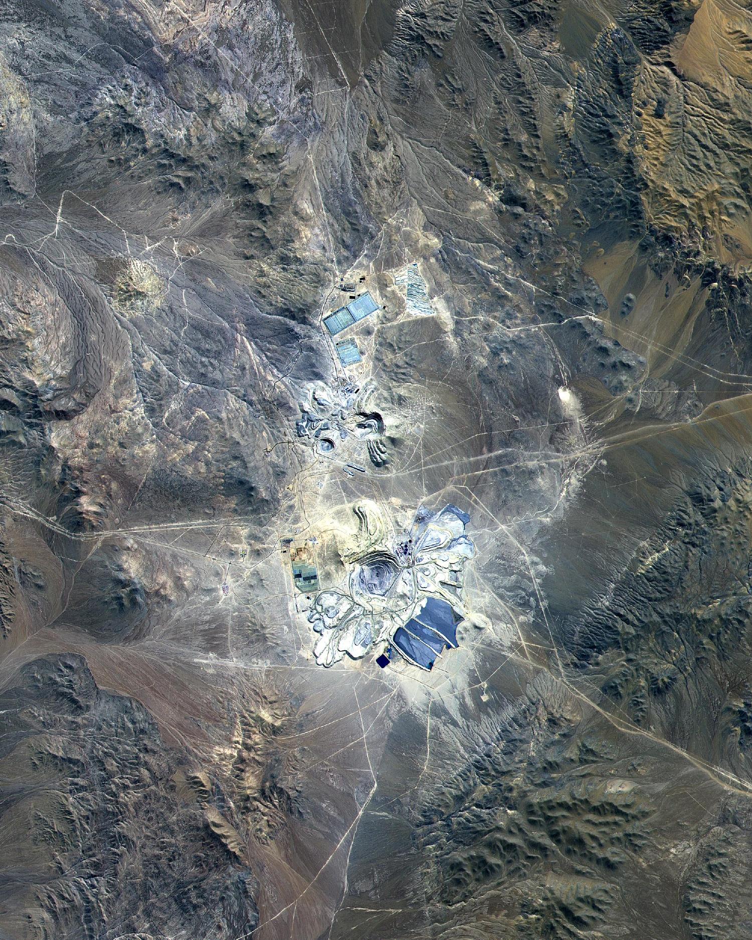
Satellite Image, Photo of Escondida Mine, Atacama Desert, Chile, April 23 2000 |
|

Credit: Image courtesy NASA GSFC, MITI, ERSDAC, JAROS, and U.S./Japan ASTER Science Team
|
This Advanced Spaceborne Thermal Emission and Reflection Radiometer (ASTER) image covers 30 by 23 km (full images 30 x 37 km) in the Atacama Desert, Chile and was acquired on April 23, 2000. The Escondida copper, gold, and silver open-pit mine is at an elevation of 3050 m, and came on stream in 1990. Current capacity is 127,000 tons/day of ore; in 1999 production totaled 827,000 tons of copper, 150,000 ounces of gold and 3.53 million ounces of silver. Primary concentration of the ore is done on-site; the concentrate is then sent to the coast for further processing through a 170 km long, 9" pipe. Escondida is related geologically to three porphyry bodies intruded along the Chilean West Fissure Fault System. A high grade supergene cap overlies primary sulfide ore. |