|
|
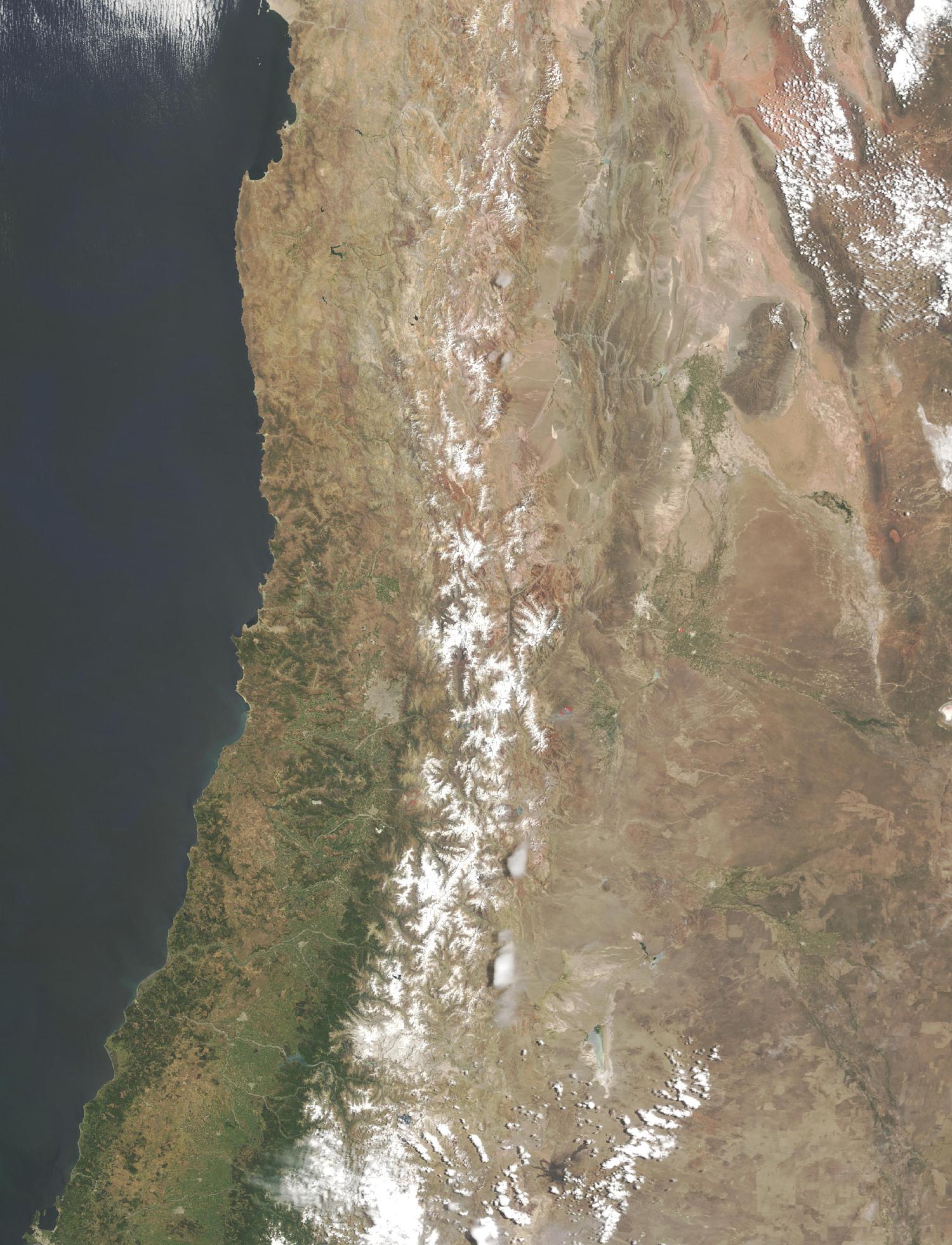
Satellite Image, Photo of Central Chile, South America |
|

Credit: Jeff Schmaltz, MODIS Rapid Response Team, NASA/GSFC
|
Scattered fires dot the Andes in central Chile, shown here in this true-color Moderate Resolution Imaging Spectroradiometer (MODIS) image taken by the Terra satellite on December 5, 2003. Snow caps the higher peaks of the range, even though South America is moving into its summer months. High elevations keep the temperatures sufficiently low to prevent the snow from completely melting away. Santiago, Chile’s capital city, sits just below the image center, and is visible as a gray spot against the brown and green foothills. On the other side of the Andes, Argentina is painted in shades of brown and dark green. The fires in this image are likely agricultural. |