- World ::
- North America ::
- Quebec
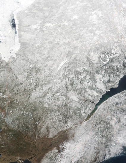
Satellite Image, Photo of Quebec in Spring
See full-size image (3.64MB).
Credit: Jacques Descloitres, NASA GSFC, based on data from the MODIS land team
Quebec. This true-color image of Quebec was acquired on April 19, 2001, by the Moderate-resolution Imaging Spectroradiometer (MODIS), flying aboard NASA's Terra spacecraft. Quebec City is located on the St. Lawrence River, which bisects this image from lower left to upper right. Montreal is at the lower left, also along the St. Lawrence.
