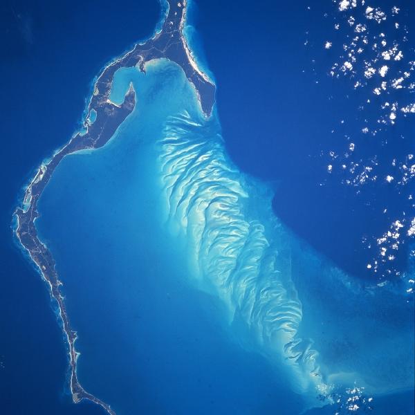
Eleuthera Island, Bahamas January 1997. The long, narrow Eleuthera Island can be seen in this mostly south-looking view. Like most of the Bahama Islands, Eleuthera is composed mainly of limestone and coral, and rises from a vast submarine plateau. The island, 80 miles (133 km) long, 2 miles (3 km) wide and covering an area of 164 sq. miles (425 sq. km), is generally low and flat, river- less, and has many mangrove swamps, brackish lakes, coral reefs and shoals, and many miles (km) of sandy beaches. Eleuthera, which means “Freedom” in Greek, was one of the earliest islands within the Bahamas to be colonized. Approximately 11000 people inhabit the island, which must get its fresh water from either rainfall or desalinazation. Hurricanes can occasionally cause severe damage to residences on the island. Eleuthera is a popular vacation resort area.